Hello everyone,
i have a question about the Opendrive2lanelet tool.
i am using this tool to convert my Opendrive map to lanelet map,
my Opendrive map is very simple and here is the code:
<?xml version="1.0"?>
<OpenDRIVE>
	<header revMajor="1" revMinor="4" north="0" south="0" west="0" east="0">
		<geoReference><![CDATA[+proj=utm +zone=32 +ellps=WGS84 +datum=WGS84 +units=m +no_defs]]></geoReference>
	</header>
	<road id="101" length="180" junction="-1">
		<type s="0" type="town" />
		<planView>
			<geometry s="0" x="0" y="0" hdg="0" length="50">
				<line />
			</geometry>
			<geometry s="50" x="50" y="0" hdg="0" length="30">
				<spiral curvStart="0" curvEnd="0.02" />
			</geometry>
			<geometry s="80" x="79.731122666330791" y="2.9807694262868862" hdg="0.30000000011137207" length="100">
				<arc curvature="0.02" />
			</geometry>
		</planView>
		<lanes>
			<laneOffset s="0" a="0" b="0" c="0" d="0" />
			<laneSection s="0">
				<left>
					<lane id="1" type="driving">
						<link>
							<predecessor id="1" />
							<successor id="1" />
						</link>
						<width sOffset="0" a="3.2270606464913301" b="0" c="0" d="0" />
						<roadMark sOffset="0" type="solid" weight="standard" color="white" width="0.13" />
						<material sOffset="0" surface="asphalt" friction="0.80000000000000004" roughness="0.014999999999999999" />
						<speed sOffset="0" max="50" />
					</lane>
				</left>
				<center>
					<lane id="0" type="driving">
						<roadMark sOffset="0" type="broken" weight="standard" color="white" width="0.14999999999999999" />
					</lane>
				</center>
				<right>
					<lane id="-1" type="driving">
						<link>
							<predecessor id="-1" />
							<successor id="-1" />
						</link>
						<width sOffset="0" a="3.2270606464913301" b="0" c="0" d="0" />
						<roadMark sOffset="0" type="solid" weight="standard" color="white" width="0.13" />
						<material sOffset="0" surface="asphalt" friction="0.80000000000000004" roughness="0.014999999999999999" />
						<speed sOffset="0" max="50" />
					</lane>
				</right>
			</laneSection>
		</lanes>
		<objects />
	</road>
</OpenDRIVE>
i am using the following command to convert the map:
opendrive2lanelet-convert < .xodr> --osm "+proj=tmerc +lat_0=0 +lon_0=0 +ellps=WGS84" -o <.osm>
The problem is, i couldn’t find any information about lane marking type in the converted lanelet2 file
here is the converted lanelet2:
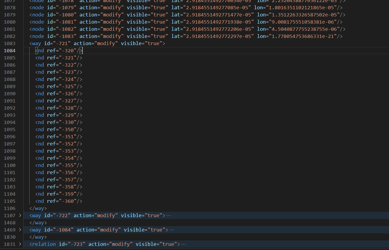
there are just some info about ref nodes under way tag, but no info about lane marking.
The way tag should contain the information like:
<tag k='type' v='line_thin' />
<tag k='subtype' v='dashed' />
Does anyone know where the problem is?
Looking forward to your answers
Zhenlin