I’m new to the CommonRoad library (thank you for providing this great tool!) and am learning the I/O first.
I cloned the git repos of commonroad_io and commonroad-scenarios (the latest version as of today) and ran this demo code based on the tutorial:
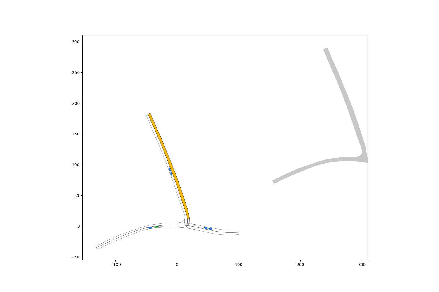
file_path = scenario_repo_path + “/scenarios/recorded/hand-crafted/ZAM_Tjunction-1_1_T-1.xml”
scenario, planning_problem_set = CommonRoadFileReader(file_path).open()
plt.figure(figsize=(15, 10))
rnd = MPRenderer()
for i in range(0, 10):
scenario.draw(rnd, draw_params={‘time_begin’: i})
planning_problem_set.draw(rnd)
rnd.render()
plt.show()
I saw one warning / error message while running the code:
…commonroad_io/commonroad/scenario/lanelet.py:1279: ShapelyDeprecationWarning: STRtree will be changed in 2.0.0 and will not be compatible with versions < 2.
self._strtee = STRtree(list(self._buffered_polygons.values()))
The visualization result, however, looked like there was another map layer with some offset. My question is that is this the intended behavior? What can I do to fix this issue? Thank you!